Contra Costa Regional Medical Center
Laser Scanning · 360° Images · Drone Photogrammetry
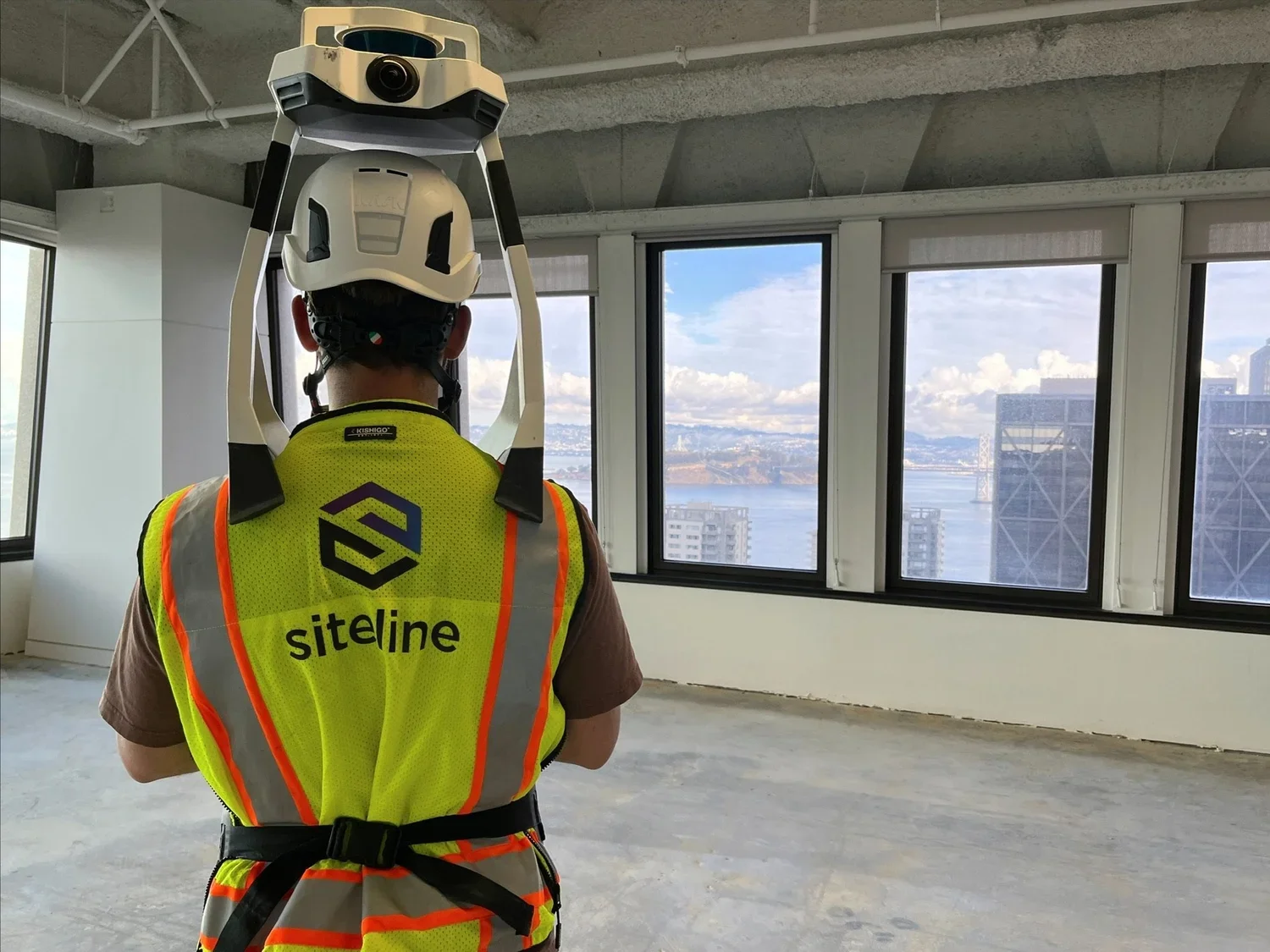
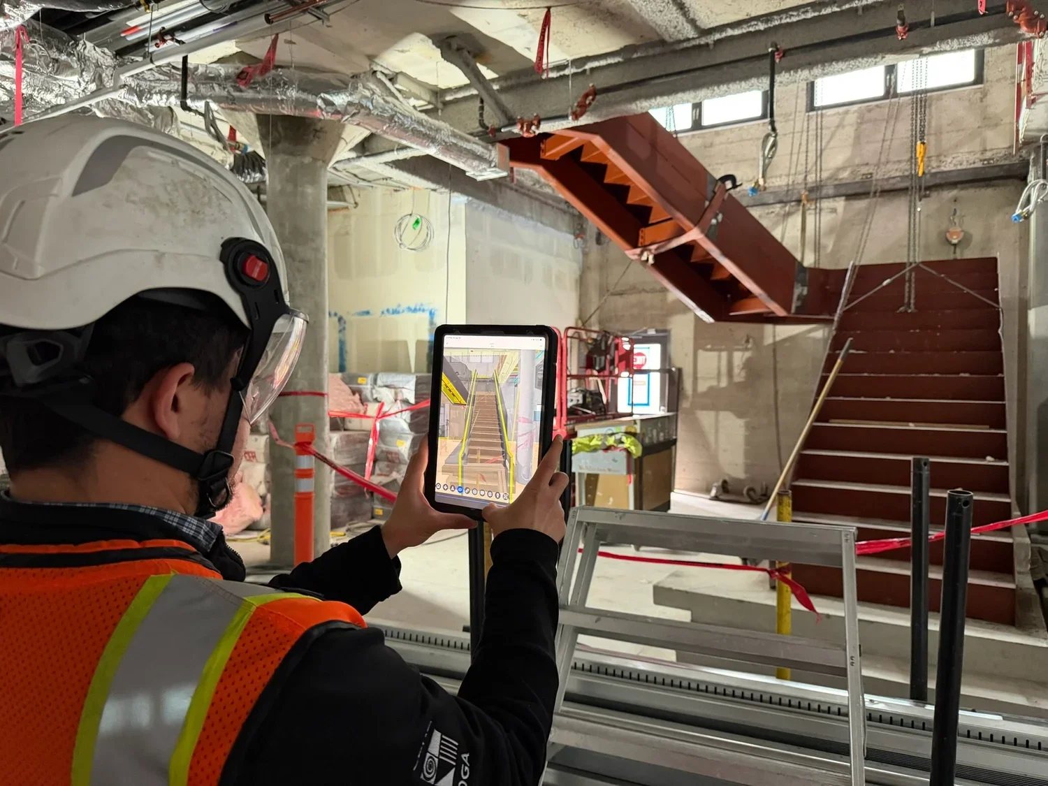
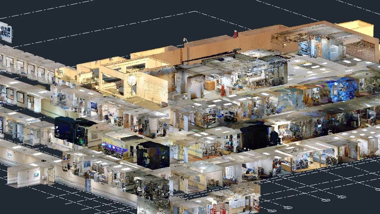
Siteline captured complex site, building, and utility conditions for a new tower tying into existing buildings via sky bridges with a critical focus on matching existing floor elevations so the team could coordinate tie-ins with confidence.
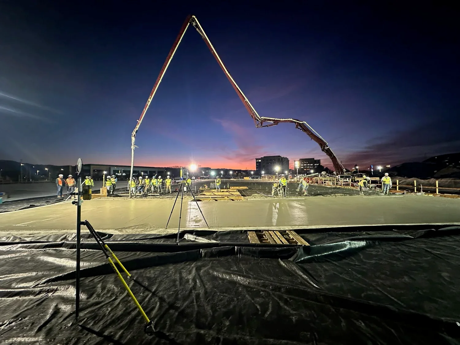
- Mobile and terrestrial laser scanning plus drone photogrammetry, verified to within ⅛ inch of survey data
- Utilized confined-space laser scanning, potholing, tracing wire, and GPR to map existing utility routing
- Reliable existing elevations to coordinate sky bridge connections between the new tower and existing buildings
- Identified size and routing of underground utilities, surfacing conflicts with structural design and reducing future construction risk